I.2.11 Pompeii. Thermopolium.
Excavated 1873. Bombed in 1943.
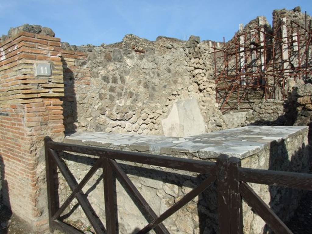
I.2.11 Pompeii. October 2024. Looking towards entrance doorway on east side of Via Stabiana. Photo courtesy of Klaus Heese.

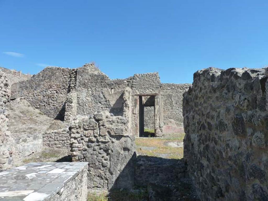
I.2.11 Pompeii, in centre. April 2014. Looking south-east towards
entrance doorway.
On
the right, is the entrance corridor of I.2.10, Domus of L & M Volusii
Fausti, leading into the atrium. Photo courtesy of Klaus Heese.
I.2.11
Pompeii. December 2018. Looking north-east towards entrance doorway.
Photo courtesy of Aude Durand.
I.2.11 Pompeii. September 2010. Looking east to entrance
doorway from Via Stabiana. Photo
courtesy of Drew Baker.
Warscher
described this, quoting Fiorelli, as – “1.2.11, una bottega con piccola
cella nel fondo, ed un podio sul limitare della porta”.
See Warscher T., 1935. Codex Topographicus Pompeianus: Regio I.2. Rome: DAIR.
I.2.11 Pompeii. May 2005. Entrance, in centre, looking east.
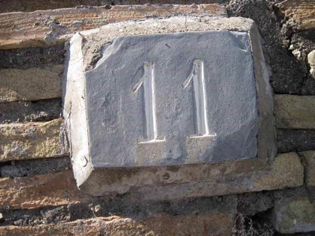
I.2.11 Pompeii. September 2010. ID number plate on north wall of bar. Photo courtesy of Drew Baker.
I.2.11 Pompeii. December 2007. Entrance, and north wall of bar.
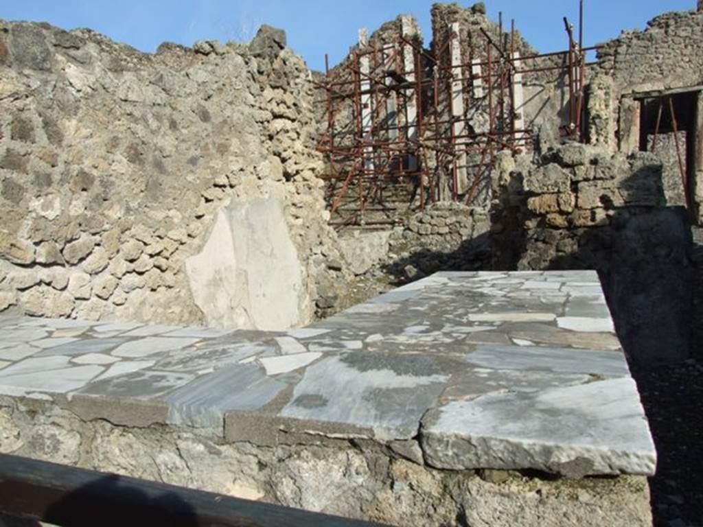
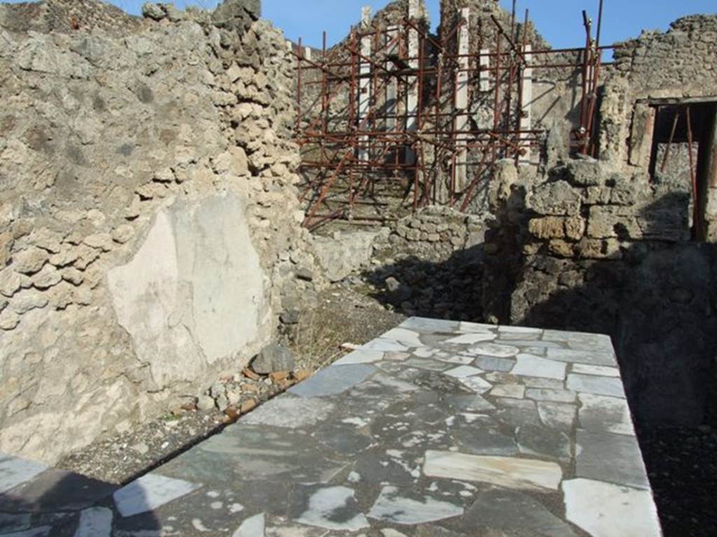
I.2.11 Pompeii. October 2024. Looking north-east across counter. Photo courtesy of Klaus Heese.
I.2.11 Pompeii. December 2007. Counter. This probably originally had three dolia set in the top of the counter.
See Van der Poel, H. B., 1986. Corpus Topographicum Pompeianum, Part IIIA. Austin: University of Texas. (p.4).
I.2.11 Pompeii. September 2010. Looking east across counter, from entrance doorway. Photo courtesy of Drew Baker.
According to Garcia y Garcia, originally there were three dolia and two display shelves in the sales counter.
However, today it is smooth and level after its restoration following the September 1943 bombing.

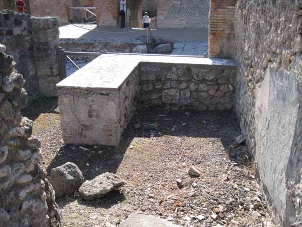
I.2.11 Pompeii. December 2007. Looking east across counter, north wall and towards small rear room.
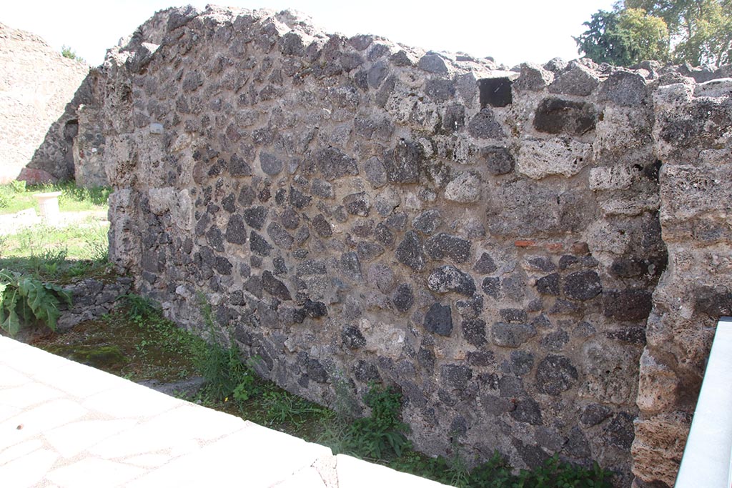
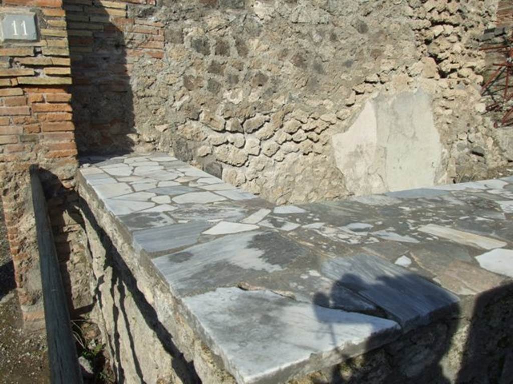
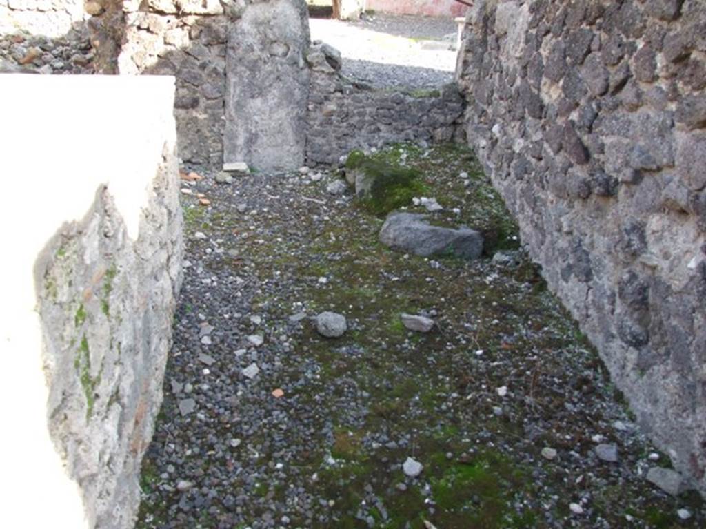
I.2.11 Pompeii. October 2024. Looking east along south wall of bar-room. Photo courtesy of Klaus Heese.
I.2.11 Pompeii. September 2015. Looking east along south wall of bar-room.
I.2.11 Pompeii. December 2007. Looking east along south wall with stone base in corner.
I.2.11 Pompeii. September 2010. South-east corner of bar, with stone base. Photo courtesy of Drew Baker.
I.2.11 Pompeii. December 2007. South wall with base (for wooden staircase?) in south-east corner.
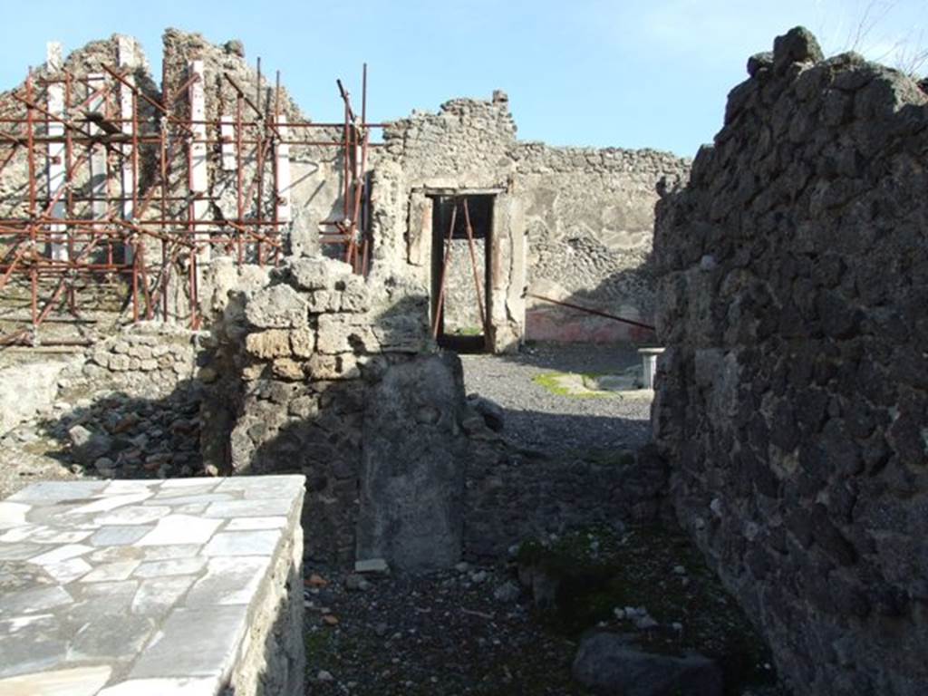
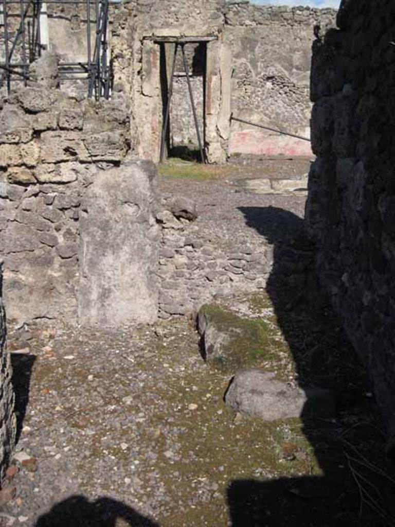
I.2.11 Pompeii. December 2007. Looking east to small rear room.
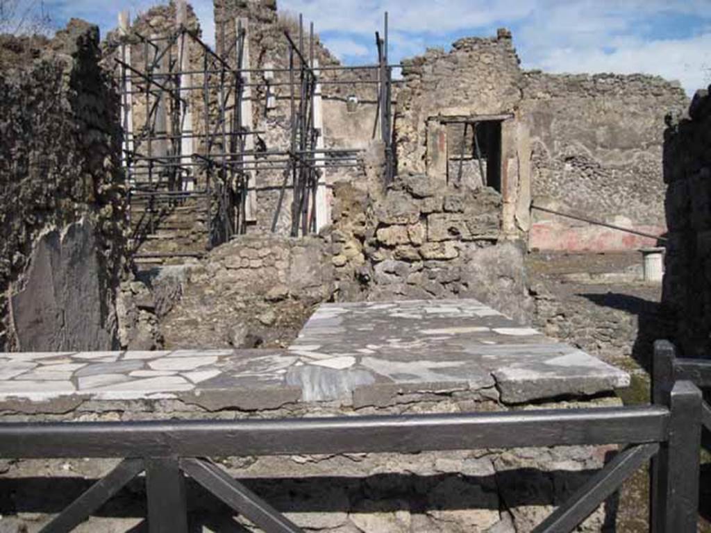
I.2.11 Pompeii. October 2024. Looking east into small rear room of the bar. Photo courtesy of Klaus Heese.

I.2.11 Pompeii. September 2010. Looking east into small rear room of the bar. Photo courtesy of Drew Baker.
According to Garcia y Garcia –
“originally there was an o.m.a.b (ostium muratum ab antiquo) in the south wall of the small rear room, leading to I.2.10.”
See Garcia y
Garcia, L., 2006. Danni di guerra a Pompei. Rome: L’Erma di Bretschneider. (p.37)
I.2.11 Pompeii. September 2010.
Looking west from small room at rear of the bar towards entrance doorway. Photo courtesy of Drew Baker.
I.2.11 Pompeii. September 2010. Looking south-west from behind counter towards Via Stabiana. Photo courtesy of Drew Baker.

I.2.11 Pompeii. September 2010. Looking west from bar, towards entrance and Via Stabiana. Photo courtesy of Drew Baker.
In Codex Topographicus Pompeianus: Regio I.2, (the copy at DAIR), Warscher included Viola’s description of the insula, from
Gli scavi di
Pompei dal 1873 al 1878, p.10 (Pompei e la regione sotterrata dal Vesuvio
nell’anno 1879, Seconda parte.
This is included at the end in all parts of I.2 on the website.
“Nel dicembre
del 1873 incomminciò lo scavo di questa isola – quale dovette essere abitata da
moltissime persone. Infatti non si vede grande lusso
di abitazioni, nè grandi locali, ove i ricchi pompeiani passavano la vita
nell’ozio e nel piacere; si può invece osservare grand’economia di spazio, case
piccole miste a botteghe e ad officine, onde non è difficile argomentare che
quivi abitarono persone del ceto medio, le quali benchè agiate non godevano
certamente della più splendide posizione.
E’ questa
un’isola dove avennero frequentissime trasformazioni, per cui riesce
difficillissimo intravvedere qual’era la sua forma primiera; non mancano però
degli avanzi di costruzioni primitive, insieme ad altri di epoca posteriore,
come si osserva in molti luoghi di Pompei.
La sua area è
di mq.2948, ed è limitata da occidente dal cardo, a settentrione dalla via
secunda, ad oriente dal vico parallelo al cardo e a mezzogiorno dalla via
tertia che la separa dalle isole 1 e 5; il margine che la fiancheggia da tre
lati escluso l’orientale e sulla via tertia di fronte al vano No.28 si vede un
piccolo ponte, formato da massi posti a contrasto, il quale serve per unire i
due margine (vedi la fotografia no.42c)”.
(Note: photo (no.42c) can be seen at I.5.1, I.2.28 and in
the “streets” section under Vicolo del Conciapelle).
See Warscher T., 1935. Codex Topographicus Pompeianus: Regio I.2. Rome: DAIR.
(translation: "In December of 1873 the excavation of this insula began – which would have been inhabited by many people. In fact you don't see great luxury homes, nor large rooms, where rich Pompeian passed life in idleness and pleasure; if you instead look at the great economy of space, small homes and shops mixed with workshops, it's not difficult to argue that here lived people in the middle class, which however well-to-do they certainly did not enjoy the most splendid position.
This was an insula, where there were frequent transformations, for which it is difficult to glimpse what was the original form; it does not lack however, the remains of primitive constructions, alongside others of a later date, as can be seen in many places in Pompeii.
Its area was 2948 sq. m., and was bounded on the west by the “cardo”, on the north by via secunda, and east by a parallel vicolo to the “cardo” and in the south by the via tertia, that separated it from Insula’s 1 and 5: the border that flanked it by three sides excluding the east and on via tertia opposite No. 28, you will see a small bridge, formed by a boulder placed to serve to unite the two edges, (see photo No. 42 c)."